Skip to content Skip to main navigation Skip to footer

Tag: hurricanes

Adams Bayou/Tributaries

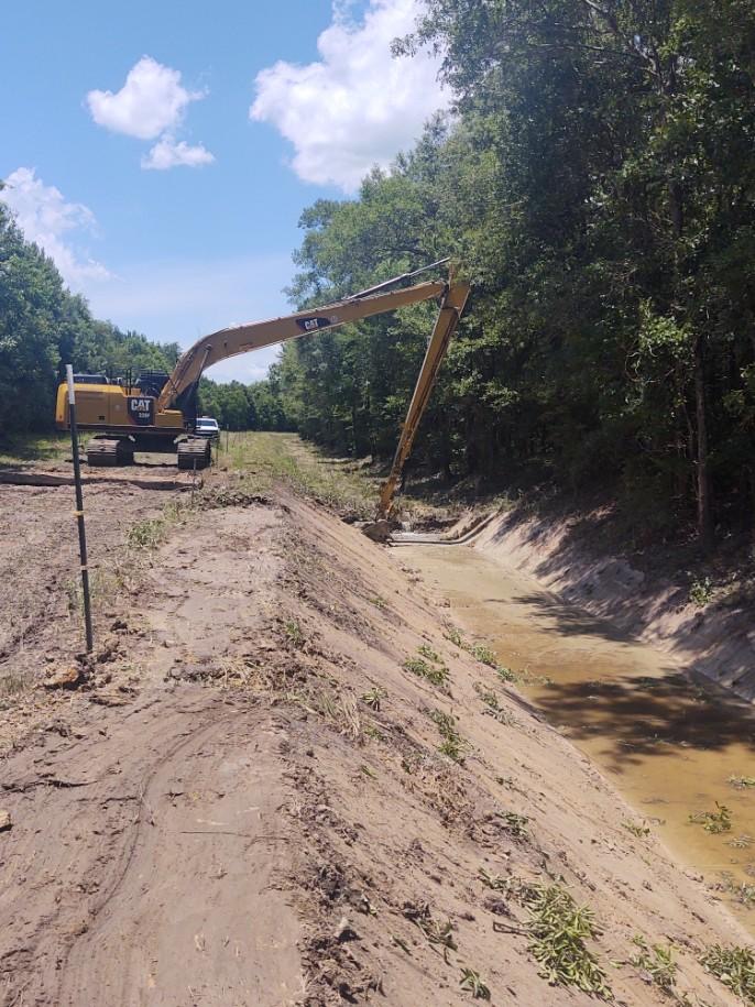
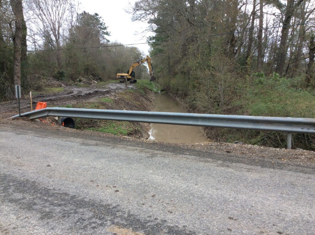
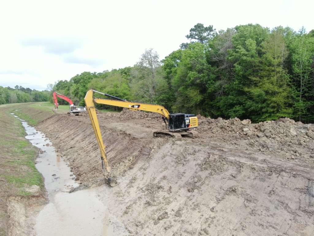
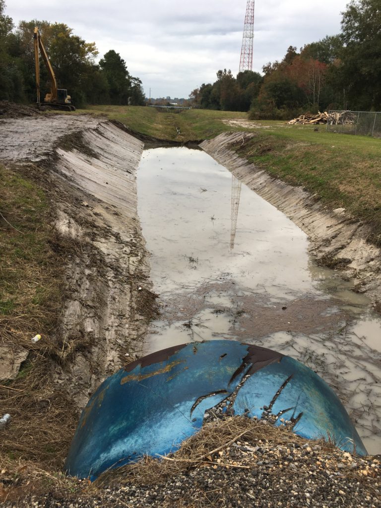
This is an update on the latest Orange County Drainage District maintenance of Adams Bayou and tributaries.The scope of this project is to regrade and improve a series of drainage structures in the north eastern portion of Orange County. The drainage structures include Adams Bayou (which flows from the north eastern part of Orange County to the Sabine River) as well as the many tributaries feeding Adams Bayou that assist in draining the surrounding areas. The green areas depicted on the map above indicate each ditch and drainage structure that will be involved in the improvement project.

Check back for additional updates and photos of the Orange County Drainage District maintenance of Adams Bayou and Tributaries Project.

Susan Circle North Outfall

Orange County Drainage District makes improvements to the Susan Circle North Outfall

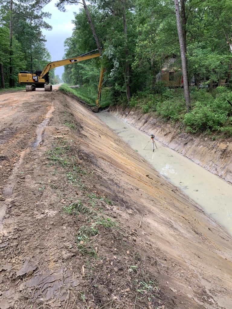
Here is an update of our progress as the Orange County Drainage District makes improvements to the Susan Circle North Outfall. The North Susan Circle Outfall receives storm water from Spooner Street, Nelson Street, Tower Road, Joel Street, Louise Street and surrounding areas. The current scope of work for this project includes the excavation and grading of the Outfall, commencing work at Highway 1442, and then proceeding north and west until completion northwest of Spooner Street, as depicted by the pink line in the map shown above. Previously the District has excavated and graded the Susan Circle Outfall south of Highway 1442 to the location where it ties into the Bessie Heights Marsh. Due to the Outfall connecting to the Marsh, drainage within this Outfall is tidally influenced.

Check back for additional information and photographs as Orange County Drainage District makes improvements to the Susan Circle North Outfall ditch.

F-5 Lateral Outfall

The F-5 Lateral Outfall receives storm water from Lakewood Estates, Colonial Lane Estates and surrounding areas. The current scope of work for this project includes the excavation and grading of the F-5 Lateral Outfall, from Terry Gully to Orange Street, which is depicted by the pink line in the map shown above.

The District completed this project in the middle of May, 2021.

Oldbury Road and Farragut Heights Outfalls

The Oldbury Road Outfall receives storm water from Highway 105 and surrounding areas, and then merges with the Farragut Heights Outfall, which generally provides drainage for the area east of Highway 105 in the general area of Farragut Heights, Becky Circle, Oldbury, Pug Road and Corbett Street. The scope of work for this project includes the excavation and grading of the Oldbury Road and Farragut Heights Outfalls, which are depicted by the pink line in the map shown above.

SRA Toe Ditch

The SRA Toe Ditch runs parallel to the SRA Canal, originating immediately south of FM 1078 and west of FM 1130, and drains into Adams Bayou. The project consisted of deepening and widening the ditch to grade, beginning at a location near Adams Bayou and terminating at FM 1078. The project was completed in May of 2019.

Morvant Ditch Project

The Morvant Ditch Project is located in the north-central portion of Orange County, south of FM 1130, east of Highway 62, and north of 8 Gate Road. The involved ditches provide drainage from FM 1130 and surrounding area, and ultimately drain into Adams Bayou.

Terry Gully Project

Terry Gully originates northwest of Highway 12 in the Vidor area. The Gully flows south-eastward underneath Highway 12 and Old Highway 90 until it reaches and crosses underneath Interstate 10 Highway.  Terry Gully continues to flow in a south-eastward direction approximately three miles until it crosses underneath FM 1135, and then continues to flow in a general north-eastward direction until it crosses underneath Highway 1442, and ultimately flows into Cow Bayou. Drainage within Terry Gully is impacted by the conditions within Cow Bayou, including tidal influences.

The Drainage District began the Terry Gully Improvement Project in March of 2019 and commenced the project in an area located approximately .75 miles southeast of Highway 1442. It is currently anticipated that the portion of the project on the south side of Interstate 10 will be completed in early June 2020, at which time the project will transition to the north side of Interstate 10 and called Terry Gully Project Phase 2.

When completed, the project will result in drainage improvement of approximately 5 miles of Terry Gully.

Dorman Gully Project

Dorman Gully originates on the south side of Interstate 10, approximately 160 yards west of Highway 62. This Gully generally flows in a south-western direction for approximately 1.5 miles until it reaches and drains into Sandy Creek. Because Sandy Creek drains into Cow Bayou, the drainage within Dorman Gully is likewise impacted by the conditions of Cow Bayou, including tidal influences. 

The Drainage District completed the Dorman Gully Project in January of 2020. 

Cole Road Project

This project involves the improvement of a series of drainage ditches in the north central/western portion of Orange County. The drainage ditches primarily  include the Cole Road Ditch, which flows into both Tiger Creek at the western end of the ditch, and into the Rebel Road – East Ditch on the east end, which further flows into Caney Creek.

The Drainage District has completed a portion of the Cole Road Ditch, and is currently working on the Rebel Road – East Ditch.  Upon completion of the Rebel Road – East Ditch, the District will resume work on the Cole Road Ditch, working in a westward direction until the entirety of the ditch to Tiger Creek is completed.

During this Project, the District will also be making improvements to the Central Ditch, which runs between Dixie Drive and Rebel Road.

NOTE*** The ditch on the map below from Cole Road to Tiger Creek has not yet been completed. This project is being moved to the completed section of the website until the ditch herein is prioritized.