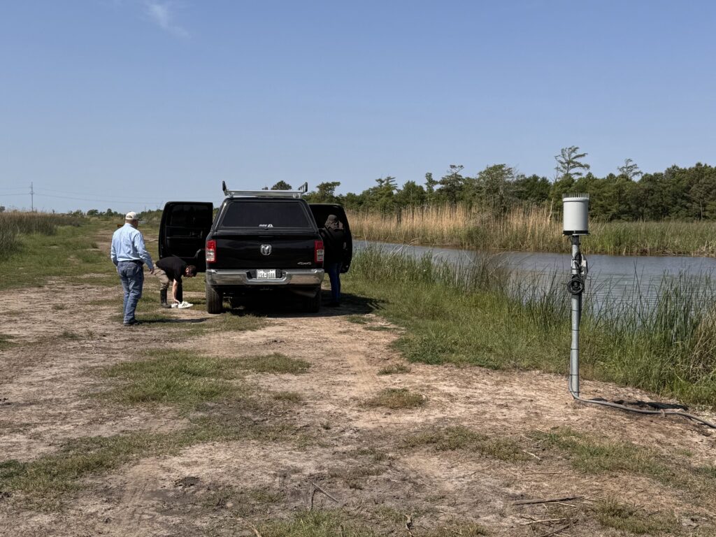
SE TEXAS R.A.I.N. Gauge Maintenance
Learn how Southeast Texas rain gauges are maintained as part of the SE TEXAS R.A.I.N. network. See how OCDD and Lamar University ensure accurate flood monitoring and real-time rainfall data for community safety.
Learn how Southeast Texas rain gauges are maintained as part of the SE TEXAS R.A.I.N. network. See how OCDD and Lamar University ensure accurate flood monitoring and real-time rainfall data for community safety.
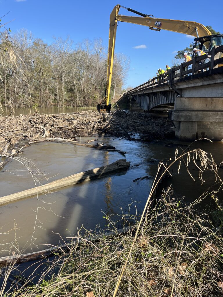
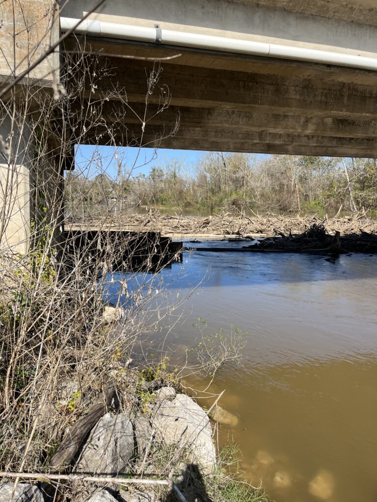
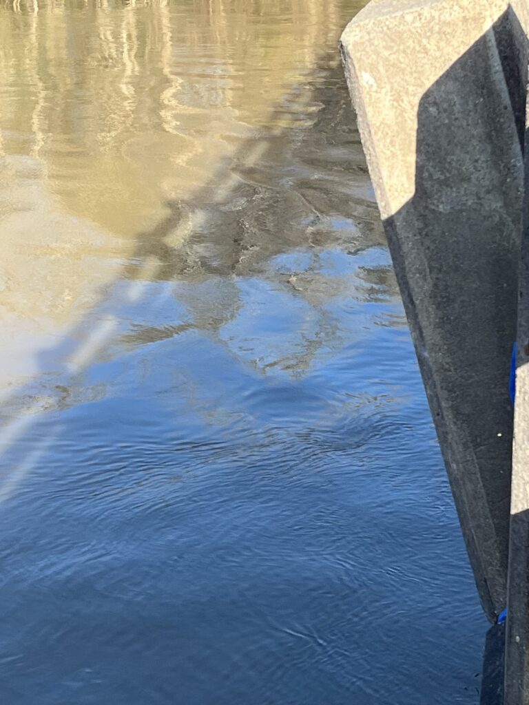
On January 3, 2025, the Orange County Drainage District received a request for assistance from the Texas Department of Transportation (“TexDOT”) to remove accumulated floating debris from the Sabine River Bridge at Highway 12. The accumulated debris was placing undue stress on the bridge structure.
The District dispatched equipment to the location and removed the accumulated debris with the assistance of TexDOT and the Louisiana Department of Transportation and Development. The District removed the debris and restored water flow under the structure.
The District would like to thank TexDOT and LaDOTD for their efforts in this restoration project.
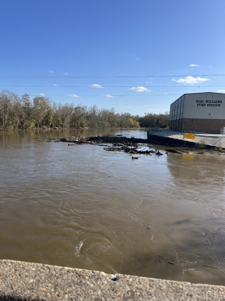
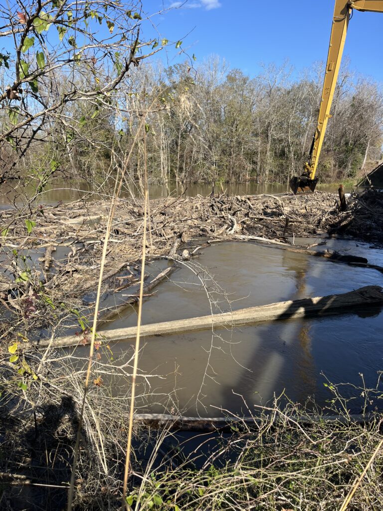
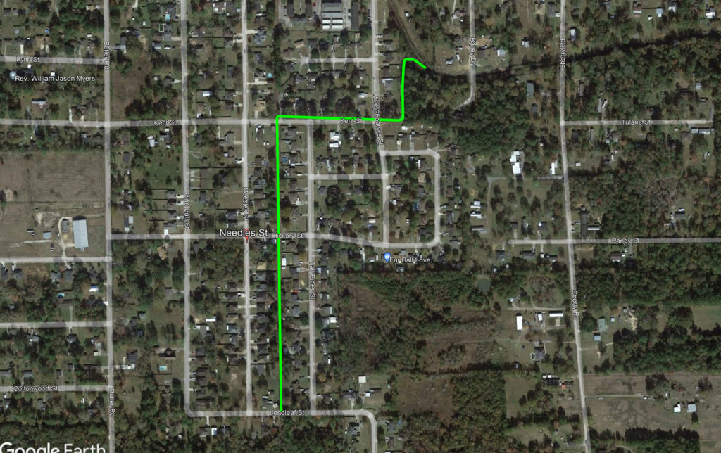

The Needles Street Outfall Project was a joint operation between the District, Orange County and the City of Vidor, Texas.
The Needles Street Outfall drains from Longleaf Street north crossing under Hickory Street, Kent Street, then drains east crossing under Pine Shadows Street and ultimately into Anderson Gully. The project included installing a new crossing under Pine Shadows Street, and the regrading of the outfall from Anderson Gully to Longleaf Street. The very limited and restricted access caused the project to be very challenging. But with the team approach of the Orange County Drainage District, Orange County Road and Bridge, the City of Vidor and surrounding home owners, the project was successfully completed on 10/14/2021. Since the completion of the Needles Street Outfall Project, the District has continued its commitment to the citizens of the City of Vidor by successfully obtaining funding in support of drainage improvements to Tiger Creek.
The proposed Tiger Creek Improvement Project is designed to construct a 3,600 ac/ft capacity detention pond at the northern reaches of Tiger Creek (Vidor/Rose City Area). Construction shall consist of the excavation, embankment construction, and grading of approximately five million eight hundred eight thousand cubic yards (5,808,000 CY) of dirt, clearing and grubbing of four hundred fifty acres (450 AC) of land, four (4) water control features, four (4) sixty thousand gallon per minute pump units, one (1) intake structure and pump house, two hundred linear feet (200 l.f..) of sixty-inch (60″) discharge piping, erosion protection at pump discharge, and all related appurtenances. Upon completion, the existence of a detention structure will relive the pressure on existing drainage structures located within the City of Vidor, thereby providing drainage relief to all of the citizens of the City.


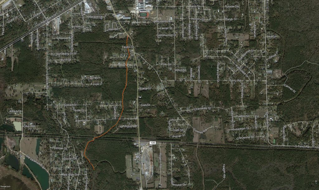

The School House Ditch originates on the east side of the intersection of I-10 and Canal Street. The outfall travels southeast crossing under Orange Street, then southwest crossing under Highway 105. The outfall then runs generally south and crosses under Old Spanish Trail, where it ultimately disperses into the marsh before flowing into the Neches River. The School House Ditch drains a significant amount of storm water runoff in the Vidor area.
The Phase 1 project involves the re-grading of the outfall (depicted in orange on the map above) from Highway 105 south to the area of the water treatment plant located off of Dogwood Drive in south Vidor. The Phase 1 project will result in approximately 8,300 feet of drainage improvements to the School House Ditch.
As stated above, the School House Ditch drains into the marsh and ultimately into the Neches River. Both the marsh and the ditch are impacted by the tidal influences affecting the Neches River.


Additional photos off the project will be added as the project progresses.


This is an update on the latest Orange County Drainage District maintenance of Adams Bayou and tributaries.The scope of this project is to regrade and improve a series of drainage structures in the north eastern portion of Orange County. The drainage structures include Adams Bayou (which flows from the north eastern part of Orange County to the Sabine River) as well as the many tributaries feeding Adams Bayou that assist in draining the surrounding areas. The green areas depicted on the map above indicate each ditch and drainage structure that will be involved in the improvement project.
Check back for additional updates and photos of the Orange County Drainage District maintenance of Adams Bayou and Tributaries Project.


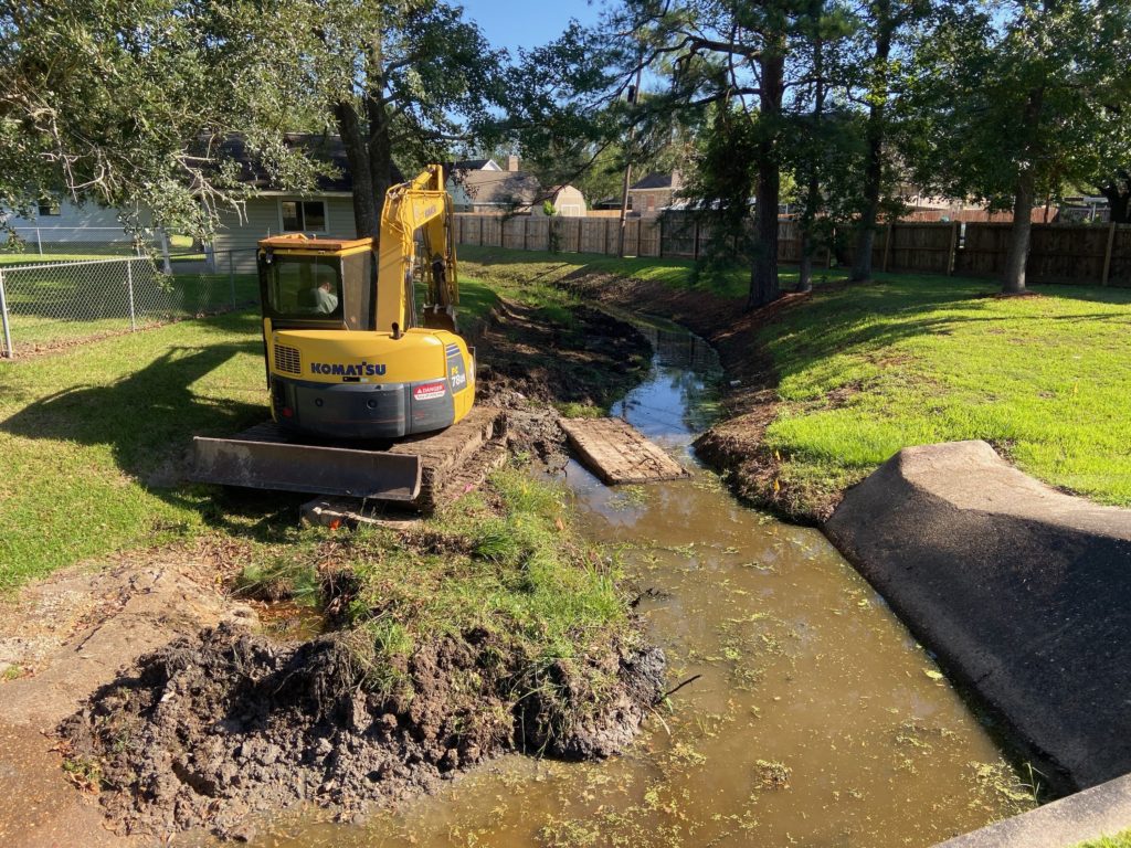

Here is an update of our progress as the Orange County Drainage District makes improvements to the Susan Circle North Outfall. The North Susan Circle Outfall receives storm water from Spooner Street, Nelson Street, Tower Road, Joel Street, Louise Street and surrounding areas. The current scope of work for this project includes the excavation and grading of the Outfall, commencing work at Highway 1442, and then proceeding north and west until completion northwest of Spooner Street, as depicted by the pink line in the map shown above. Previously the District has excavated and graded the Susan Circle Outfall south of Highway 1442 to the location where it ties into the Bessie Heights Marsh. Due to the Outfall connecting to the Marsh, drainage within this Outfall is tidally influenced.
Check back for additional information and photographs as Orange County Drainage District makes improvements to the Susan Circle North Outfall ditch.


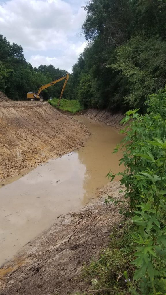

The F-5 Lateral Outfall receives storm water from Lakewood Estates, Colonial Lane Estates and surrounding areas. The current scope of work for this project includes the excavation and grading of the F-5 Lateral Outfall, from Terry Gully to Orange Street, which is depicted by the pink line in the map shown above.
The District completed this project in the middle of May, 2021.


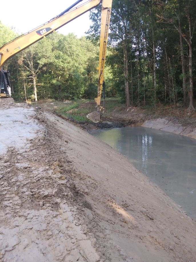

The Oldbury Road Outfall receives storm water from Highway 105 and surrounding areas, and then merges with the Farragut Heights Outfall, which generally provides drainage for the area east of Highway 105 in the general area of Farragut Heights, Becky Circle, Oldbury, Pug Road and Corbett Street. The scope of work for this project includes the excavation and grading of the Oldbury Road and Farragut Heights Outfalls, which are depicted by the pink line in the map shown above.


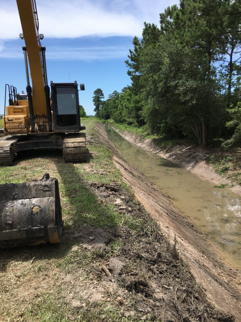
The SRA Toe Ditch runs parallel to the SRA Canal, originating immediately south of FM 1078 and west of FM 1130, and drains into Adams Bayou. The project consisted of deepening and widening the ditch to grade, beginning at a location near Adams Bayou and terminating at FM 1078. The project was completed in May of 2019.


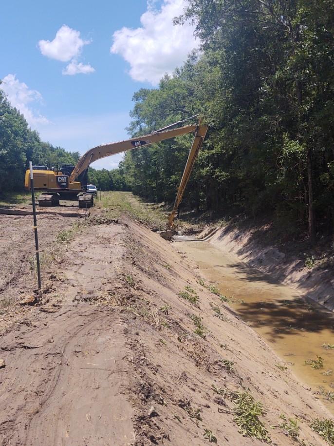
The Morvant Ditch Project is located in the north-central portion of Orange County, south of FM 1130, east of Highway 62, and north of 8 Gate Road. The involved ditches provide drainage from FM 1130 and surrounding area, and ultimately drain into Adams Bayou.


