Skip to content Skip to main navigation Skip to footer

Tag: Terry Gully

Terry Gully Project Phase 2

Terry Gully Project Phase 2

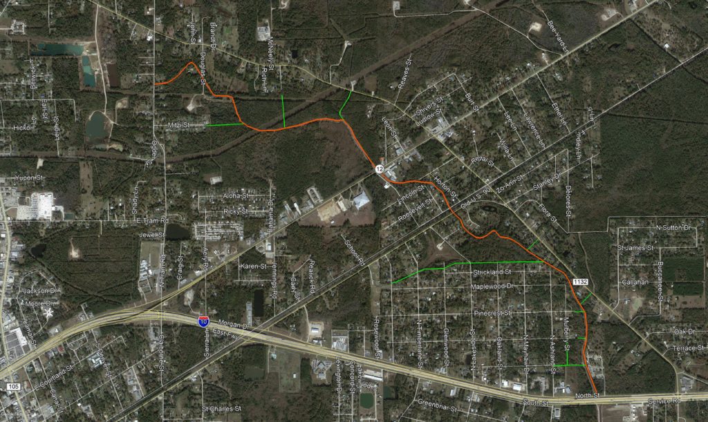
The Terry Gully Project Phase 2 involves the regrading of Terry Gully (depicted in orange on the map above) from Interstate 10 to North Tram Road. Previously the District completed the Terry Gully Phase 1 Project whereby it improved Terry Gully from Interstate 10 south to Terry Road. Terry Gully drains into Cow Bayou causing the gully to be impacted by the conditions of the Bayou, including tidal influences. 

The Terry Gully Project Phase 2 also includes the improvement by the regrading of many tributary ditches (depicted in green on the map above) to Terry Gully, that drain the surrounding areas.

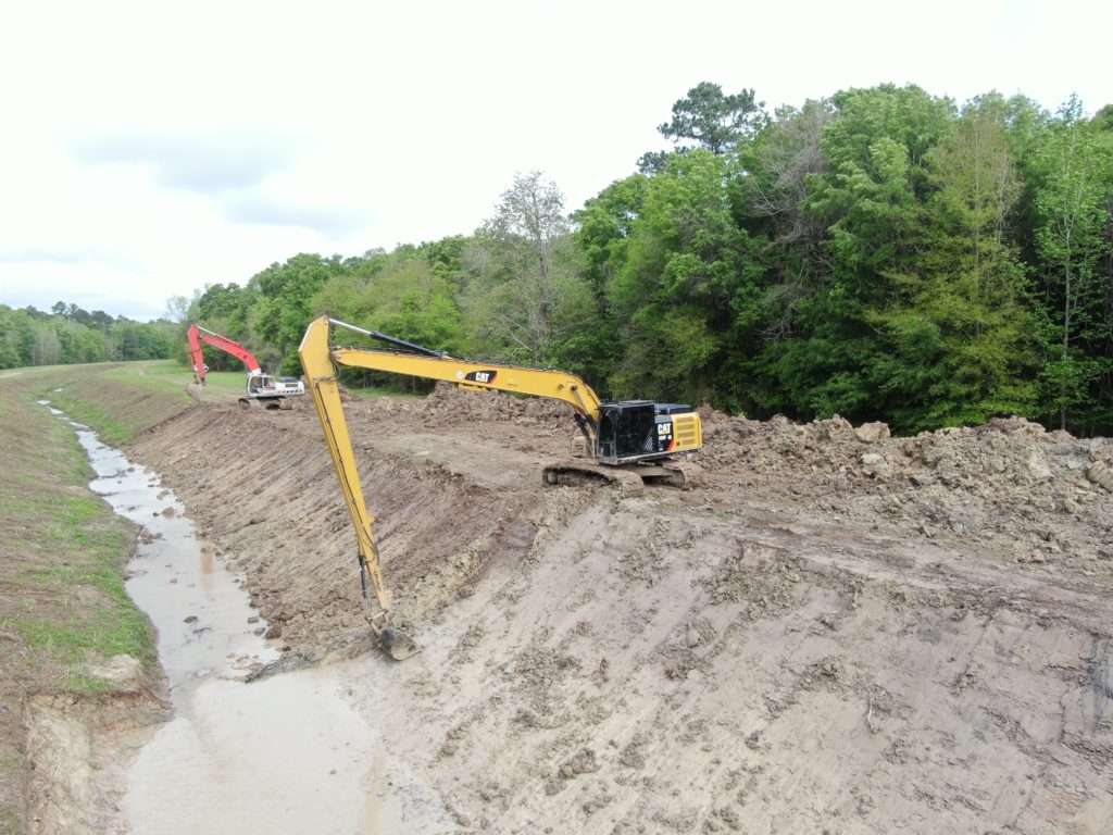
Photos will be added to this post as the project progresses.

Terry Gully Project

Terry Gully originates northwest of Highway 12 in the Vidor area. The Gully flows south-eastward underneath Highway 12 and Old Highway 90 until it reaches and crosses underneath Interstate 10 Highway.  Terry Gully continues to flow in a south-eastward direction approximately three miles until it crosses underneath FM 1135, and then continues to flow in a general north-eastward direction until it crosses underneath Highway 1442, and ultimately flows into Cow Bayou. Drainage within Terry Gully is impacted by the conditions within Cow Bayou, including tidal influences.

The Drainage District began the Terry Gully Improvement Project in March of 2019 and commenced the project in an area located approximately .75 miles southeast of Highway 1442. It is currently anticipated that the portion of the project on the south side of Interstate 10 will be completed in early June 2020, at which time the project will transition to the north side of Interstate 10 and called Terry Gully Project Phase 2.

When completed, the project will result in drainage improvement of approximately 5 miles of Terry Gully.